Start of Redlap Lane, Stoke Fleming
Introduction
The photograph on this page of Start of Redlap Lane, Stoke Fleming by jeff collins as part of the Geograph project.
The Geograph project started in 2005 with the aim of publishing, organising and preserving representative images for every square kilometre of Great Britain, Ireland and the Isle of Man.

There are currently over 7.5m images from over 14,400 individuals and you can help contribute to the project by visiting https://www.geograph.org.uk
Start of Redlap Lane, Stoke Fleming
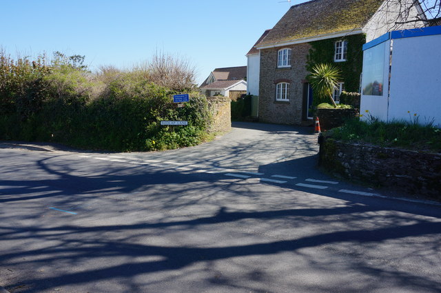
Image: © jeff collins Taken: 22 Apr 2015
Seen looking across the A379 Dartmouth Road, just before entering the village. The lane continues on towards Little Dartmouth a mile or so away. The coast path follows the lane.
Images are licensed for reuse under creativecommons.org/licenses/by-sa/2.0
Image Location
Latitude
50.327068
Longitude
-3.597444