M6 junction 16 improvement scheme
Introduction
The photograph on this page of M6 junction 16 improvement scheme by Jonathan Hutchins as part of the Geograph project.
The Geograph project started in 2005 with the aim of publishing, organising and preserving representative images for every square kilometre of Great Britain, Ireland and the Isle of Man.

There are currently over 7.5m images from over 14,400 individuals and you can help contribute to the project by visiting https://www.geograph.org.uk
M6 junction 16 improvement scheme
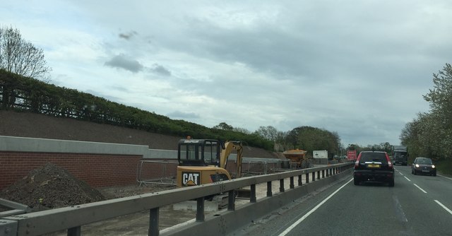
Image: © Jonathan Hutchins Taken: 24 Apr 2015
Here the A500 meets the M6 from the west side, at junction 16. The junction suffers heavy congestion during peak periods, hence this 'pinch point programme' scheme. More details at http://www.highways.gov.uk/roads/road-projects/m6-junction-16-improvement-scheme/.
Images are licensed for reuse under creativecommons.org/licenses/by-sa/2.0
Image Location
Latitude
53.069517
Longitude
-2.341131