Mansfield Road, Daybrook
Introduction
The photograph on this page of Mansfield Road, Daybrook by Stephen McKay as part of the Geograph project.
The Geograph project started in 2005 with the aim of publishing, organising and preserving representative images for every square kilometre of Great Britain, Ireland and the Isle of Man.

There are currently over 7.5m images from over 14,400 individuals and you can help contribute to the project by visiting https://www.geograph.org.uk
Mansfield Road, Daybrook
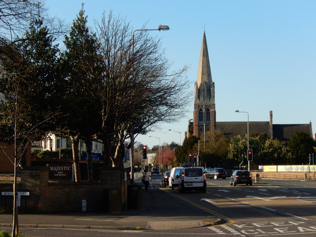
Image: © Stephen McKay Taken: 18 Apr 2015
Daybrook is a suburban district to the south west of Arnold centre. The A60, Mansfield Road, passes through and is seen here at the junction with Byron Street.
Images are licensed for reuse under creativecommons.org/licenses/by-sa/2.0
Image Location
Latitude
52.998926
Longitude
-1.137984