Witton Park School playing field
Introduction
The photograph on this page of Witton Park School playing field by Mr T as part of the Geograph project.
The Geograph project started in 2005 with the aim of publishing, organising and preserving representative images for every square kilometre of Great Britain, Ireland and the Isle of Man.

There are currently over 7.5m images from over 14,400 individuals and you can help contribute to the project by visiting https://www.geograph.org.uk
Witton Park School playing field
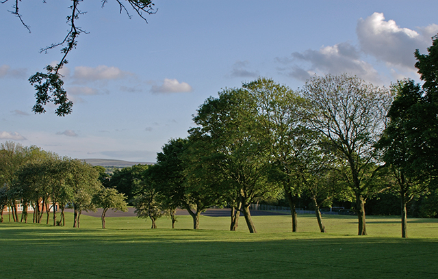
Image: © Mr T Taken: 25 May 2007
The current name is actually 'Witton Park High School Business and Enterprise College', but it is still a school. In the distance is Great Hill Image
Images are licensed for reuse under creativecommons.org/licenses/by-sa/2.0
Image Location
Latitude
53.745303
Longitude
-2.511254