Countryside near Stoke Climsland
Introduction
The photograph on this page of Countryside near Stoke Climsland by Derek Harper as part of the Geograph project.
The Geograph project started in 2005 with the aim of publishing, organising and preserving representative images for every square kilometre of Great Britain, Ireland and the Isle of Man.

There are currently over 7.5m images from over 14,400 individuals and you can help contribute to the project by visiting https://www.geograph.org.uk
Countryside near Stoke Climsland
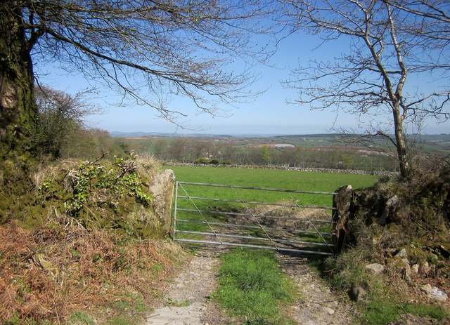
Image: © Derek Harper Taken: 20 Apr 2015
Looking through a gateway across the B3257 from Image Somewhere out there the Tamar cuts across the landscape in a deep wooded valley.
Images are licensed for reuse under creativecommons.org/licenses/by-sa/2.0
Image Location
Latitude
50.528725
Longitude
-4.29549