Meadow below Higher Crockett
Introduction
The photograph on this page of Meadow below Higher Crockett by Derek Harper as part of the Geograph project.
The Geograph project started in 2005 with the aim of publishing, organising and preserving representative images for every square kilometre of Great Britain, Ireland and the Isle of Man.

There are currently over 7.5m images from over 14,400 individuals and you can help contribute to the project by visiting https://www.geograph.org.uk
Meadow below Higher Crockett
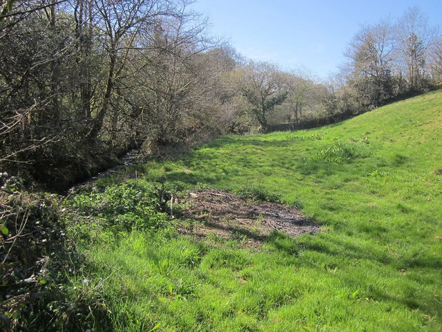
Image: © Derek Harper Taken: 20 Apr 2015
Beside a headwater of the Luckett stream on the left. Someone has had a little bonfire of brushwood.
Images are licensed for reuse under creativecommons.org/licenses/by-sa/2.0
Image Location
Latitude
50.527966
Longitude
-4.311115