OS benchmark - Claverley, wall on Pound St
Introduction
The photograph on this page of OS benchmark - Claverley, wall on Pound St by Richard Law as part of the Geograph project.
The Geograph project started in 2005 with the aim of publishing, organising and preserving representative images for every square kilometre of Great Britain, Ireland and the Isle of Man.

There are currently over 7.5m images from over 14,400 individuals and you can help contribute to the project by visiting https://www.geograph.org.uk
OS benchmark - Claverley, wall on Pound St
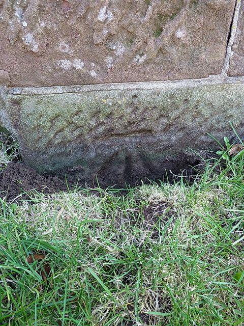
Image: © Richard Law Taken: 6 Apr 2015
An OS cutmark on a wall on the south side of Pound Street; originally levelled at 56.528m above Ordnance Datum Newlyn, and at that time described as being 0.4m above the ground. It's now more or less at ground level.
Images are licensed for reuse under creativecommons.org/licenses/by-sa/2.0
Image Location
Latitude
52.536704
Longitude
-2.310151