Arch, All Saint's Square
Introduction
The photograph on this page of Arch, All Saint's Square by Keith Williams as part of the Geograph project.
The Geograph project started in 2005 with the aim of publishing, organising and preserving representative images for every square kilometre of Great Britain, Ireland and the Isle of Man.

There are currently over 7.5m images from over 14,400 individuals and you can help contribute to the project by visiting https://www.geograph.org.uk
Arch, All Saint's Square
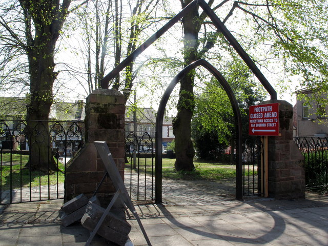
Image: © Keith Williams Taken: 23 Apr 2015
The arch marks the entrance to a church that was demolished during the building of Sky Blue Way.
Images are licensed for reuse under creativecommons.org/licenses/by-sa/2.0
Image Location
Latitude
52.408021
Longitude
-1.496034