Houses on Steels Lane
Introduction
The photograph on this page of Houses on Steels Lane by Nigel Mykura as part of the Geograph project.
The Geograph project started in 2005 with the aim of publishing, organising and preserving representative images for every square kilometre of Great Britain, Ireland and the Isle of Man.

There are currently over 7.5m images from over 14,400 individuals and you can help contribute to the project by visiting https://www.geograph.org.uk
Houses on Steels Lane
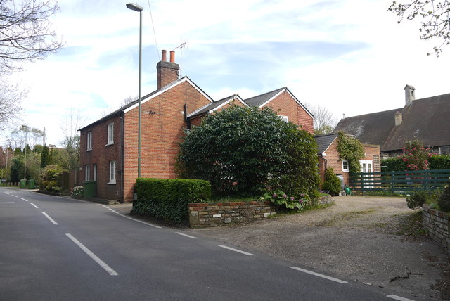
Image: © Nigel Mykura Taken: 17 Apr 2015
These detached modern red brick houses are on Steels Lane close to its junction with Holtwood Rd and Oakshade Rd. In the background can be seen St Andrews church on Oakshade Rd.
Images are licensed for reuse under creativecommons.org/licenses/by-sa/2.0
Image Location
Latitude
51.331602
Longitude
-0.362475