Chardstock Lane
Introduction
The photograph on this page of Chardstock Lane by Derek Harper as part of the Geograph project.
The Geograph project started in 2005 with the aim of publishing, organising and preserving representative images for every square kilometre of Great Britain, Ireland and the Isle of Man.

There are currently over 7.5m images from over 14,400 individuals and you can help contribute to the project by visiting https://www.geograph.org.uk
Chardstock Lane
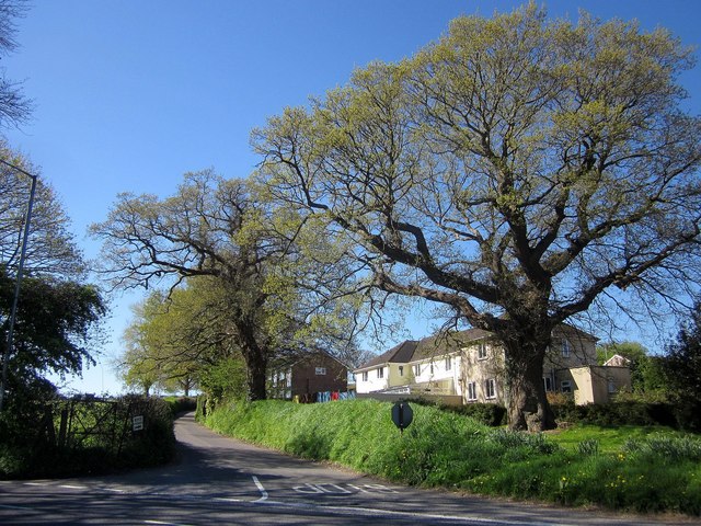
Image: © Derek Harper Taken: 22 Apr 2015
The southern edge of the built-up area of Chard (currently, at least), looking across the A358 Tatworth Road, with spring-like oaks.
Images are licensed for reuse under creativecommons.org/licenses/by-sa/2.0
Image Location
Latitude
50.864653
Longitude
-2.962365