Bridleway junction in a field
Introduction
The photograph on this page of Bridleway junction in a field by Richard Law as part of the Geograph project.
The Geograph project started in 2005 with the aim of publishing, organising and preserving representative images for every square kilometre of Great Britain, Ireland and the Isle of Man.

There are currently over 7.5m images from over 14,400 individuals and you can help contribute to the project by visiting https://www.geograph.org.uk
Bridleway junction in a field
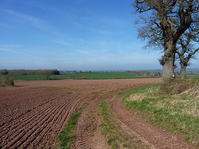
Image: © Richard Law Taken: 6 Apr 2015
The bifurcation of bridleways - left (along the faint grassy track) leads to Beobridge Grange and Lower Beobridge, whilst the right fork leads to Upper Beobridge.
Images are licensed for reuse under creativecommons.org/licenses/by-sa/2.0
Image Location
Latitude
52.515483
Longitude
-2.312064