Maltby to Raithby down the River Lud: aerial 2015
Introduction
The photograph on this page of Maltby to Raithby down the River Lud: aerial 2015 by Chris as part of the Geograph project.
The Geograph project started in 2005 with the aim of publishing, organising and preserving representative images for every square kilometre of Great Britain, Ireland and the Isle of Man.

There are currently over 7.5m images from over 14,400 individuals and you can help contribute to the project by visiting https://www.geograph.org.uk
Maltby to Raithby down the River Lud: aerial 2015
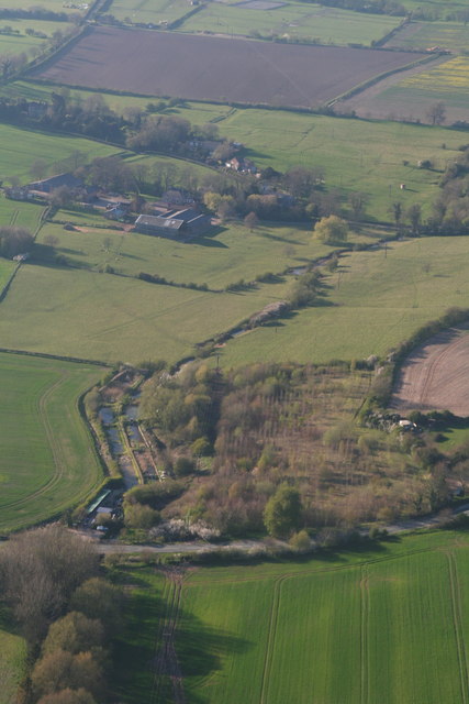
Image: © Chris Taken: 21 Apr 2015
See also "Raithby towards Hallington, down the River Lud: aerial 2015" Image] and "Tathwell through Maltby, down the River Lud: aerial 2015" Image Fishery in the foreground by the river. Grass fields to the left have marks related to old field systems (not sure if this is part of Maltby Medieval Village, which is not shown on the OS map). Raithby and old field systems at the top: see Image], Image], Image and Image Various becks and springs go to make up the River Lud. Technically, I have read, it is not called the Lud until Hallington Beck joins Welton Beck (from beyond Welton Springs and Little Welton), i.e. to the east of Hubbards Hills. Meanwhile the beck in this picture has yet to join another Hallington Beck, which emanates from west of Withcall.
Images are licensed for reuse under creativecommons.org/licenses/by-sa/2.0
Image Location
Latitude
53.339053
Longitude
-0.029899