Stoborough Green
Introduction
The photograph on this page of Stoborough Green by Peter Trimming as part of the Geograph project.
The Geograph project started in 2005 with the aim of publishing, organising and preserving representative images for every square kilometre of Great Britain, Ireland and the Isle of Man.

There are currently over 7.5m images from over 14,400 individuals and you can help contribute to the project by visiting https://www.geograph.org.uk
Stoborough Green
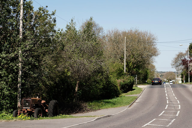
Image: © Peter Trimming Taken: 18 Apr 2015
Looking down the B3075, in the direction of Wareham.
Images are licensed for reuse under creativecommons.org/licenses/by-sa/2.0
Image Location


Leaflet Map data © OpenStreetMap
Latitude
50.669032
Longitude
-2.102962