Pierrepont Road, Lady Bay
Introduction
The photograph on this page of Pierrepont Road, Lady Bay by Stephen McKay as part of the Geograph project.
The Geograph project started in 2005 with the aim of publishing, organising and preserving representative images for every square kilometre of Great Britain, Ireland and the Isle of Man.

There are currently over 7.5m images from over 14,400 individuals and you can help contribute to the project by visiting https://www.geograph.org.uk
Pierrepont Road, Lady Bay
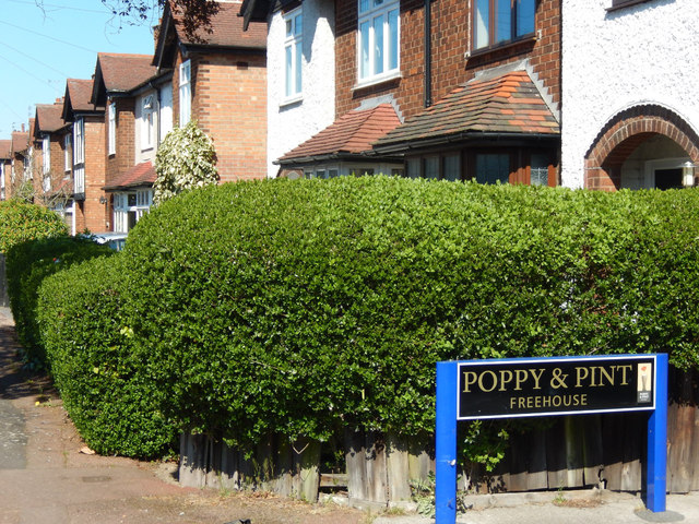
Image: © Stephen McKay Taken: 18 Apr 2015
Suburban semis line the east side of Pierrepont Road in the Lady Bay area of West Bridgford. The origin of the Lady Bay name is obscure, one suggestion being that it refers to a bay mare that was once kept in fields here. The sign marking the way to the Poppy and Pint pub is also unusual - as is the pub itself (seeImage).
Images are licensed for reuse under creativecommons.org/licenses/by-sa/2.0
Image Location
Latitude
52.935146
Longitude
-1.119612