A38 eastbound south west of South Brent
Introduction
The photograph on this page of A38 eastbound south west of South Brent by David Smith as part of the Geograph project.
The Geograph project started in 2005 with the aim of publishing, organising and preserving representative images for every square kilometre of Great Britain, Ireland and the Isle of Man.

There are currently over 7.5m images from over 14,400 individuals and you can help contribute to the project by visiting https://www.geograph.org.uk
A38 eastbound south west of South Brent
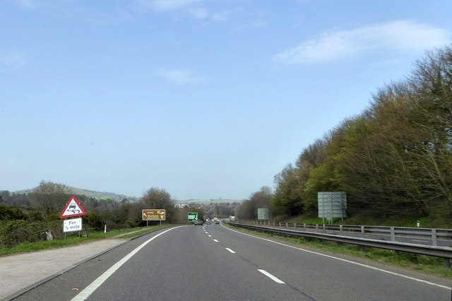
Image: © David Smith Taken: 16 Apr 2015
There are advance warning signs for the exit slip road for South Brent. The sign warning of a slippery road appears temporary but has been there for many months
Images are licensed for reuse under creativecommons.org/licenses/by-sa/2.0
Image Location
Latitude
50.411595
Longitude
-3.847437