Carent's Farm Yeovil Marsh - The Farmhouse (2)
Introduction
The photograph on this page of Carent's Farm Yeovil Marsh - The Farmhouse (2) by Mike Searle as part of the Geograph project.
The Geograph project started in 2005 with the aim of publishing, organising and preserving representative images for every square kilometre of Great Britain, Ireland and the Isle of Man.

There are currently over 7.5m images from over 14,400 individuals and you can help contribute to the project by visiting https://www.geograph.org.uk
Carent's Farm Yeovil Marsh - The Farmhouse (2)
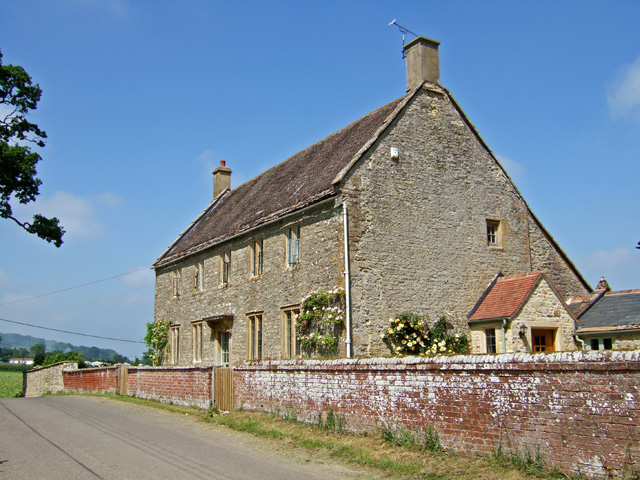
Image: © Mike Searle Taken: 24 May 2007
Grade II listed 18th century farmhouse.
Images are licensed for reuse under creativecommons.org/licenses/by-sa/2.0
Image Location


Leaflet Map data © OpenStreetMap
Latitude
50.965386
Longitude
-2.647025