Arable field near Gammaton Barton
Introduction
The photograph on this page of Arable field near Gammaton Barton by Philip Halling as part of the Geograph project.
The Geograph project started in 2005 with the aim of publishing, organising and preserving representative images for every square kilometre of Great Britain, Ireland and the Isle of Man.

There are currently over 7.5m images from over 14,400 individuals and you can help contribute to the project by visiting https://www.geograph.org.uk
Arable field near Gammaton Barton
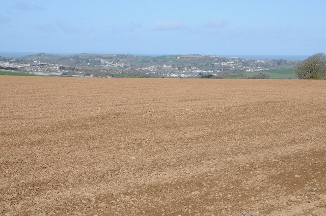
Image: © Philip Halling Taken: 11 Apr 2015
The town of Bideford and the Torridge Bridge can be seen in the distance. Also visible but difficult to see here is Lundy Island on the distant horizon.
Images are licensed for reuse under creativecommons.org/licenses/by-sa/2.0
Image Location
Latitude
51.005695
Longitude
-4.157885