Houses set above the Glanffrwd Terrace roadway, Ynysybwl
Introduction
The photograph on this page of Houses set above the Glanffrwd Terrace roadway, Ynysybwl by Jaggery as part of the Geograph project.
The Geograph project started in 2005 with the aim of publishing, organising and preserving representative images for every square kilometre of Great Britain, Ireland and the Isle of Man.

There are currently over 7.5m images from over 14,400 individuals and you can help contribute to the project by visiting https://www.geograph.org.uk
Houses set above the Glanffrwd Terrace roadway, Ynysybwl
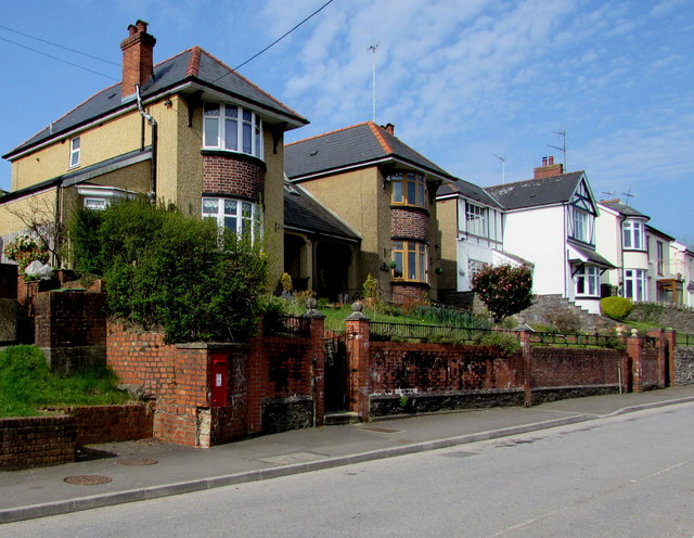
Image: © Jaggery Taken: 16 Apr 2015
Near the Clydach Road junction. The red postbox http://www.geograph.org.uk/photo/4438243 in the wall is from the reign of King George VI (December 1936-February 1952).
Images are licensed for reuse under creativecommons.org/licenses/by-sa/2.0
Image Location
Latitude
51.645184
Longitude
-3.368453