River Thames at Bourne End
Introduction
The photograph on this page of River Thames at Bourne End by David Purchase as part of the Geograph project.
The Geograph project started in 2005 with the aim of publishing, organising and preserving representative images for every square kilometre of Great Britain, Ireland and the Isle of Man.

There are currently over 7.5m images from over 14,400 individuals and you can help contribute to the project by visiting https://www.geograph.org.uk
River Thames at Bourne End
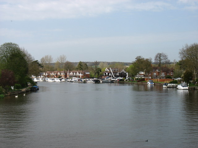
Image: © David Purchase Taken: 16 Apr 2015
Taken from the footbridge which is attached to the railway bridge, and which is used by the Thames Path to cross to the true left bank (if you are heading upstream, as I was!).
Images are licensed for reuse under creativecommons.org/licenses/by-sa/2.0
Image Location
Latitude
51.575998
Longitude
-0.715065