Wall's Social Club and Playing fields. Barnwood
Introduction
The photograph on this page of Wall's Social Club and Playing fields. Barnwood by Richard Auckland as part of the Geograph project.
The Geograph project started in 2005 with the aim of publishing, organising and preserving representative images for every square kilometre of Great Britain, Ireland and the Isle of Man.

There are currently over 7.5m images from over 14,400 individuals and you can help contribute to the project by visiting https://www.geograph.org.uk
Wall's Social Club and Playing fields. Barnwood
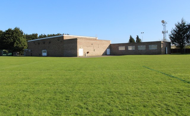
Image: © Richard Auckland Taken: 18 Apr 2015
Standing on the playing fields looking at the rear of the clubhouse Also see image Image]
Images are licensed for reuse under creativecommons.org/licenses/by-sa/2.0
Image Location
Latitude
51.865797
Longitude
-2.206902