Colney Heath: Rerouted bridleway alongside Hatfield Quarry (2)
Introduction
The photograph on this page of Colney Heath: Rerouted bridleway alongside Hatfield Quarry (2) by Nigel Cox as part of the Geograph project.
The Geograph project started in 2005 with the aim of publishing, organising and preserving representative images for every square kilometre of Great Britain, Ireland and the Isle of Man.

There are currently over 7.5m images from over 14,400 individuals and you can help contribute to the project by visiting https://www.geograph.org.uk
Colney Heath: Rerouted bridleway alongside Hatfield Quarry (2)
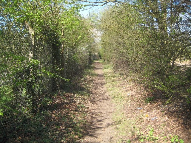
Image: © Nigel Cox Taken: 12 Apr 2015
The bridleway between Oaklands Lane and Coopers Green Lane used to run in a straight line between them. However the active gravel extraction workings at the Cemex Hatfield Quarry have forced a diversion, so now the bridleway runs alongside the quarry. Here it runs just inside the quarry boundary fence, on the left with Oaklands Lane beyond.
Images are licensed for reuse under creativecommons.org/licenses/by-sa/2.0
Image Location


Leaflet Map data © OpenStreetMap
Latitude
51.761791
Longitude
-0.280735