Oil exploration site entrance, Horse Hill
Introduction
The photograph on this page of Oil exploration site entrance, Horse Hill by Ian Capper as part of the Geograph project.
The Geograph project started in 2005 with the aim of publishing, organising and preserving representative images for every square kilometre of Great Britain, Ireland and the Isle of Man.

There are currently over 7.5m images from over 14,400 individuals and you can help contribute to the project by visiting https://www.geograph.org.uk
Oil exploration site entrance, Horse Hill
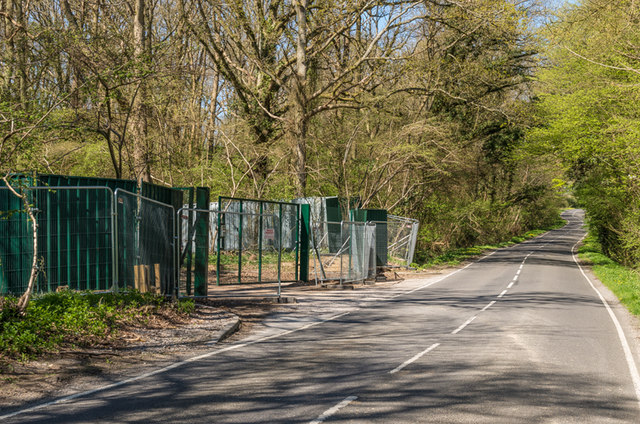
Image: © Ian Capper Taken: 18 Apr 2015
Horse Hill was the original Brighton Road, before the more direct route (now the A217) was built, itself superseded by the current A23 in 1818. In 2015, the name received prominence following the announcement that a trial drilling off Horse Hill had suggested the existence of between 50bn and 100bn barrels of oil under an area of the Weald Basin in Surrey and East and West Sussex, and whilst it was likely that only a small proportion could be readily recovered, it could still provide a significant proportion of the UK oil needs for a period. However subsequent reports have tried to downplay the news, over concerns of commercial viability of the find. This is the entrance to the exploration site, off Horse Hill. For closer view see Image
Images are licensed for reuse under creativecommons.org/licenses/by-sa/2.0
Image Location
Latitude
51.178323
Longitude
-0.204983