A417/A40 link road at Barnwood - Entrance to Horsbere Brook Flood Prevention Scheme
Introduction
The photograph on this page of A417/A40 link road at Barnwood - Entrance to Horsbere Brook Flood Prevention Scheme by Richard Auckland as part of the Geograph project.
The Geograph project started in 2005 with the aim of publishing, organising and preserving representative images for every square kilometre of Great Britain, Ireland and the Isle of Man.

There are currently over 7.5m images from over 14,400 individuals and you can help contribute to the project by visiting https://www.geograph.org.uk
A417/A40 link road at Barnwood - Entrance to Horsbere Brook Flood Prevention Scheme
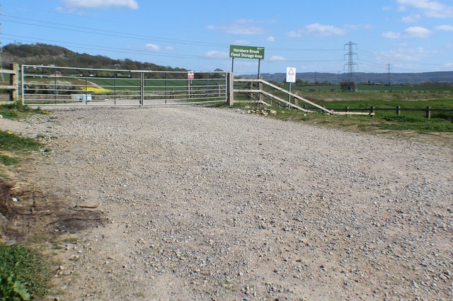
Image: © Richard Auckland Taken: 18 Apr 2015
Constructed in 2014 to alleviate the flooding downstream of the Horsbere as it narrowed through the housing estates on its way to the Severn Estuary.
Images are licensed for reuse under creativecommons.org/licenses/by-sa/2.0
Image Location
Latitude
51.8695
Longitude
-2.196752