Junction south of East Sherford Cross
Introduction
The photograph on this page of Junction south of East Sherford Cross by David Smith as part of the Geograph project.
The Geograph project started in 2005 with the aim of publishing, organising and preserving representative images for every square kilometre of Great Britain, Ireland and the Isle of Man.

There are currently over 7.5m images from over 14,400 individuals and you can help contribute to the project by visiting https://www.geograph.org.uk
Junction south of East Sherford Cross
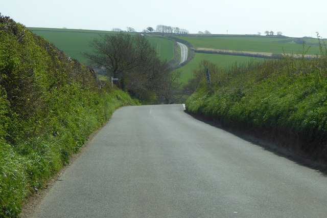
Image: © David Smith Taken: 16 Apr 2015
East Sherford Cross is a road junction with a minor road on the east. This road on the west is almost aligned with that minor road, but turns south about 140 metres away to reach this junction. 19th century maps have the roads in their present locations, so the alignment may be fortuitous
Images are licensed for reuse under creativecommons.org/licenses/by-sa/2.0
Image Location
Latitude
50.367004
Longitude
-4.039898