Llwybr Clos y Graig Path
Introduction
The photograph on this page of Llwybr Clos y Graig Path by Alan Richards as part of the Geograph project.
The Geograph project started in 2005 with the aim of publishing, organising and preserving representative images for every square kilometre of Great Britain, Ireland and the Isle of Man.

There are currently over 7.5m images from over 14,400 individuals and you can help contribute to the project by visiting https://www.geograph.org.uk
Llwybr Clos y Graig Path
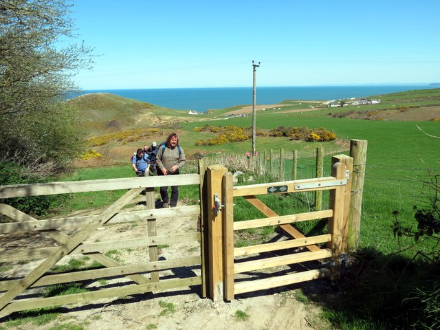
Image: © Alan Richards Taken: 18 Apr 2015
Gât fach ar lwybr cyhoeddus ger Clos y Graig. A pedestrian gate on a public footpath near Clos y Graig (trans. rock yard)
Images are licensed for reuse under creativecommons.org/licenses/by-sa/2.0
Image Location
Latitude
52.131773
Longitude
-4.643543