Aberteifi / Cardigan
Introduction
The photograph on this page of Aberteifi / Cardigan by Alan Richards as part of the Geograph project.
The Geograph project started in 2005 with the aim of publishing, organising and preserving representative images for every square kilometre of Great Britain, Ireland and the Isle of Man.

There are currently over 7.5m images from over 14,400 individuals and you can help contribute to the project by visiting https://www.geograph.org.uk
Aberteifi / Cardigan
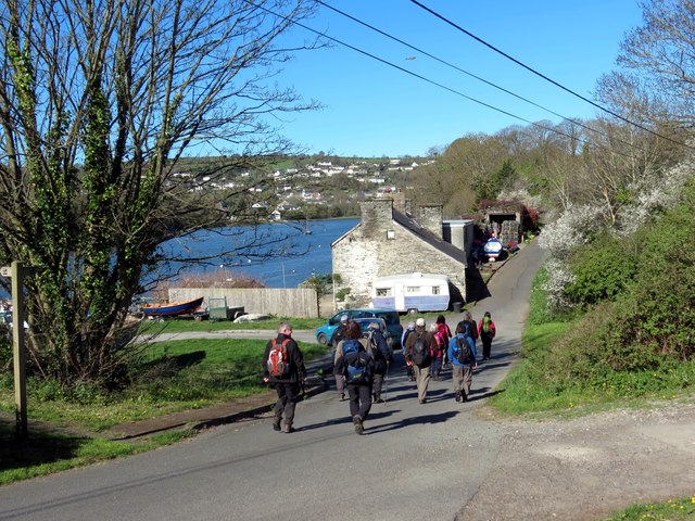
Image: © Alan Richards Taken: 18 Apr 2015
Cerddwyr yn agosau at hen dy wrth ddilyn llwybr yr arfordir. Walkers approaching an old house while following the coastal path.
Images are licensed for reuse under creativecommons.org/licenses/by-sa/2.0
Image Location


Leaflet Map data © OpenStreetMap
Latitude
52.08338
Longitude
-4.667977