The Horseshoe Bend
Introduction
The photograph on this page of The Horseshoe Bend by Paul McIlroy as part of the Geograph project.
The Geograph project started in 2005 with the aim of publishing, organising and preserving representative images for every square kilometre of Great Britain, Ireland and the Isle of Man.

There are currently over 7.5m images from over 14,400 individuals and you can help contribute to the project by visiting https://www.geograph.org.uk
The Horseshoe Bend
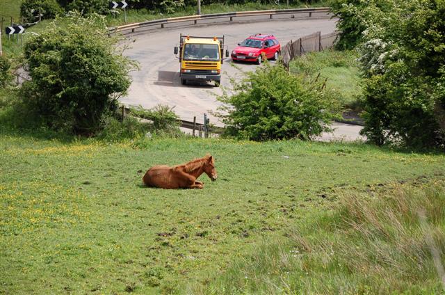
Image: © Paul McIlroy Taken: 19 May 2007
The Horse Shoe Bend is on the Crumlin on the northwest outskirts of Belfast. This road used to be the main route to Belfast Airport but that changed when the M2 motorway was constructed.
Images are licensed for reuse under creativecommons.org/licenses/by-sa/2.0
Image Location
Latitude
54.635831
Longitude
-5.970402