Path to Henham
Introduction
The photograph on this page of Path to Henham by Hugh Venables as part of the Geograph project.
The Geograph project started in 2005 with the aim of publishing, organising and preserving representative images for every square kilometre of Great Britain, Ireland and the Isle of Man.

There are currently over 7.5m images from over 14,400 individuals and you can help contribute to the project by visiting https://www.geograph.org.uk
Path to Henham
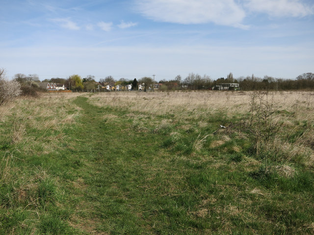
Image: © Hugh Venables Taken: 12 Apr 2015
This area is marked as playing fields on the map, but is a fallow dog walking area on the edge of Henham.
Images are licensed for reuse under creativecommons.org/licenses/by-sa/2.0
Image Location


Leaflet Map data © OpenStreetMap
Latitude
51.926696
Longitude
0.247851