Roland Way, Walworth
Introduction
The photograph on this page of Roland Way, Walworth by Stephen Craven as part of the Geograph project.
The Geograph project started in 2005 with the aim of publishing, organising and preserving representative images for every square kilometre of Great Britain, Ireland and the Isle of Man.

There are currently over 7.5m images from over 14,400 individuals and you can help contribute to the project by visiting https://www.geograph.org.uk
Roland Way, Walworth
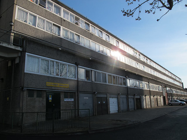
Image: © Stephen Craven Taken: 14 Apr 2015
This five-storey block of flats forms a barrier between the post-war housing along Albany Road and older housing to the north.
Images are licensed for reuse under creativecommons.org/licenses/by-sa/2.0
Image Location
Latitude
51.4859
Longitude
-0.088333