Unsuitable route for heavy goods vehicles, Ynysybwl
Introduction
The photograph on this page of Unsuitable route for heavy goods vehicles, Ynysybwl by Jaggery as part of the Geograph project.
The Geograph project started in 2005 with the aim of publishing, organising and preserving representative images for every square kilometre of Great Britain, Ireland and the Isle of Man.

There are currently over 7.5m images from over 14,400 individuals and you can help contribute to the project by visiting https://www.geograph.org.uk
Unsuitable route for heavy goods vehicles, Ynysybwl
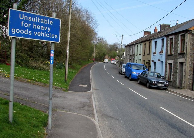
Image: © Jaggery Taken: 16 Apr 2015
Alongside Heol-y-Mynach north of the Mynachdy Road junction. A small blue, red and white sticker on a post supporting the sign shows that this route is part of National Cycle Network Route 47.
Images are licensed for reuse under creativecommons.org/licenses/by-sa/2.0
Image Location
Latitude
51.647106
Longitude
-3.373281