Mill Two Acres
Introduction
The photograph on this page of Mill Two Acres by Simon Carey as part of the Geograph project.
The Geograph project started in 2005 with the aim of publishing, organising and preserving representative images for every square kilometre of Great Britain, Ireland and the Isle of Man.

There are currently over 7.5m images from over 14,400 individuals and you can help contribute to the project by visiting https://www.geograph.org.uk
Mill Two Acres
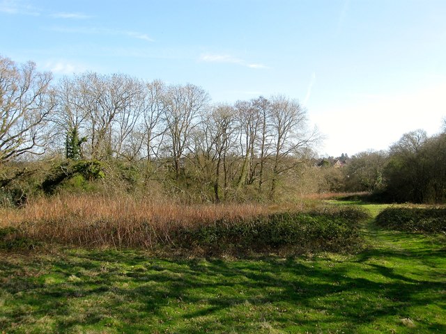
Image: © Simon Carey Taken: 12 Apr 2015
The name of the field according to Cuckfield's 1843 tithe map that that is located to the south of Image The field is part of the old Penland Farm which will soon be developed into a housing estate.
Images are licensed for reuse under creativecommons.org/licenses/by-sa/2.0
Image Location
Latitude
51.010961
Longitude
-0.114628