Rail Field
Introduction
The photograph on this page of Rail Field by Simon Carey as part of the Geograph project.
The Geograph project started in 2005 with the aim of publishing, organising and preserving representative images for every square kilometre of Great Britain, Ireland and the Isle of Man.

There are currently over 7.5m images from over 14,400 individuals and you can help contribute to the project by visiting https://www.geograph.org.uk
Rail Field
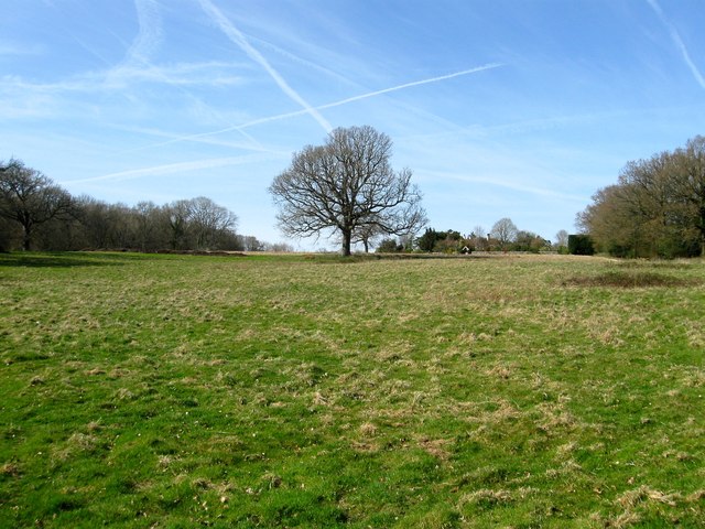
Image: © Simon Carey Taken: 12 Apr 2015
The name of the field according to Cuckfield's 1843 tithe map that lies to the east of Image and south of Image The field will be part of the Penland Farm development which has recently been approved despite opposition from the local council and residents. The old farmhouse which can be seen in the distance will join a number of others that have been engulfed by Haywards Heath.
Images are licensed for reuse under creativecommons.org/licenses/by-sa/2.0
Image Location
Latitude
51.012956
Longitude
-0.115687