Hilly Field
Introduction
The photograph on this page of Hilly Field by Simon Carey as part of the Geograph project.
The Geograph project started in 2005 with the aim of publishing, organising and preserving representative images for every square kilometre of Great Britain, Ireland and the Isle of Man.

There are currently over 7.5m images from over 14,400 individuals and you can help contribute to the project by visiting https://www.geograph.org.uk
Hilly Field
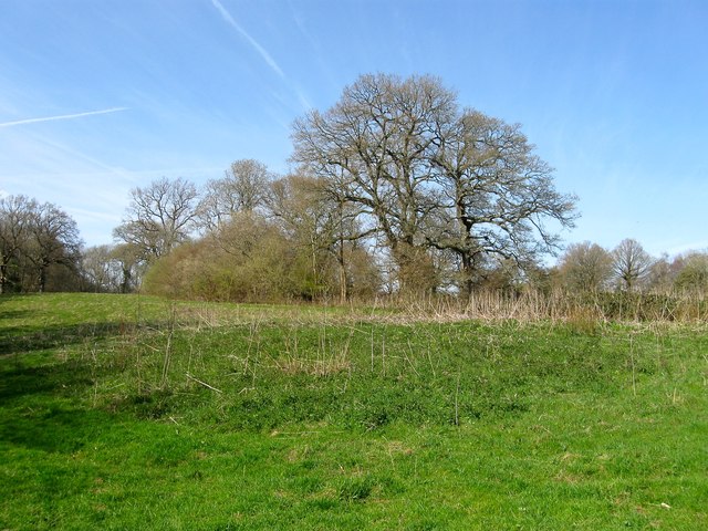
Image: © Simon Carey Taken: 12 Apr 2015
The name of the field according to Cuckfield's 1843 tithe map that is bounded by Image to the west, Image to the east and Image to the north. The clump of trees surround an old pit that has become a pond. The field will soon disappear under a new housing estate.
Images are licensed for reuse under creativecommons.org/licenses/by-sa/2.0
Image Location
Latitude
51.011804
Longitude
-0.116732