Graveley Wood
Introduction
The photograph on this page of Graveley Wood by Simon Carey as part of the Geograph project.
The Geograph project started in 2005 with the aim of publishing, organising and preserving representative images for every square kilometre of Great Britain, Ireland and the Isle of Man.

There are currently over 7.5m images from over 14,400 individuals and you can help contribute to the project by visiting https://www.geograph.org.uk
Graveley Wood
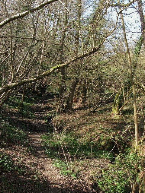
Image: © Simon Carey Taken: 12 Apr 2015
The name of the wood according to the 1875 OS map but not used on any other editions. This section to the south surrounds a tributary of Scrase Stream.
Images are licensed for reuse under creativecommons.org/licenses/by-sa/2.0
Image Location
Latitude
51.010991
Longitude
-0.11648