Ploughed Field and Observatory
Introduction
The photograph on this page of Ploughed Field and Observatory by Des Blenkinsopp as part of the Geograph project.
The Geograph project started in 2005 with the aim of publishing, organising and preserving representative images for every square kilometre of Great Britain, Ireland and the Isle of Man.

There are currently over 7.5m images from over 14,400 individuals and you can help contribute to the project by visiting https://www.geograph.org.uk
Ploughed Field and Observatory
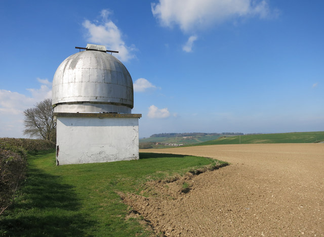
Image: © Des Blenkinsopp Taken: 6 Apr 2015
On the top of a hill at around 130 metres aod. In Ordnance Survey abbreviation, this is an Obsy, which is quite a good word.
Images are licensed for reuse under creativecommons.org/licenses/by-sa/2.0
Image Location
Latitude
51.813017
Longitude
-0.930575