Hanlye Six Acres
Introduction
The photograph on this page of Hanlye Six Acres by Simon Carey as part of the Geograph project.
The Geograph project started in 2005 with the aim of publishing, organising and preserving representative images for every square kilometre of Great Britain, Ireland and the Isle of Man.

There are currently over 7.5m images from over 14,400 individuals and you can help contribute to the project by visiting https://www.geograph.org.uk
Hanlye Six Acres
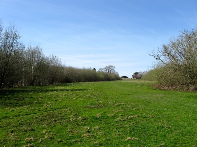
Image: © Simon Carey Taken: 12 Apr 2015
The name of the field according to Cuckfield's 1843 tithe map that has now become part of Borde Hill Millennium Woodland that covers the former fields of Hanlye Farm. This section is located to the east of Image and north of Image The building in the distance is Image
Images are licensed for reuse under creativecommons.org/licenses/by-sa/2.0
Image Location
Latitude
51.012907
Longitude
-0.123815