Swallow Lane, Wootton, N Lincs
Introduction
The photograph on this page of Swallow Lane, Wootton, N Lincs by Paul Harrop as part of the Geograph project.
The Geograph project started in 2005 with the aim of publishing, organising and preserving representative images for every square kilometre of Great Britain, Ireland and the Isle of Man.

There are currently over 7.5m images from over 14,400 individuals and you can help contribute to the project by visiting https://www.geograph.org.uk
Swallow Lane, Wootton, N Lincs
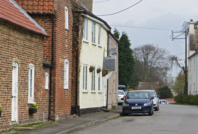
Image: © Paul Harrop Taken: 16 Apr 2015
Lane to the south of the village centre. Named after the nearby settlement, rather than the bird. Or the digestive reflex, for that matter.
Images are licensed for reuse under creativecommons.org/licenses/by-sa/2.0
Image Location
Latitude
53.627955
Longitude
-0.354916