Gelli Road, Ynysybwl
Introduction
The photograph on this page of Gelli Road, Ynysybwl by Jaggery as part of the Geograph project.
The Geograph project started in 2005 with the aim of publishing, organising and preserving representative images for every square kilometre of Great Britain, Ireland and the Isle of Man.

There are currently over 7.5m images from over 14,400 individuals and you can help contribute to the project by visiting https://www.geograph.org.uk
Gelli Road, Ynysybwl
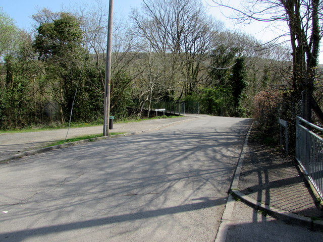
Image: © Jaggery Taken: 16 Apr 2015
Viewed from the corner of Robert Street. Gelli Road is a dead-end road on the west bank of a stream, Nant Clydach. The southern end of a footbridge http://www.geograph.org.uk/photo/4433320 over the stream is in the background.
Images are licensed for reuse under creativecommons.org/licenses/by-sa/2.0
Image Location
Latitude
51.637844
Longitude
-3.357828