Avignon Road
Introduction
The photograph on this page of Avignon Road by Martin Addison as part of the Geograph project.
The Geograph project started in 2005 with the aim of publishing, organising and preserving representative images for every square kilometre of Great Britain, Ireland and the Isle of Man.

There are currently over 7.5m images from over 14,400 individuals and you can help contribute to the project by visiting https://www.geograph.org.uk
Avignon Road
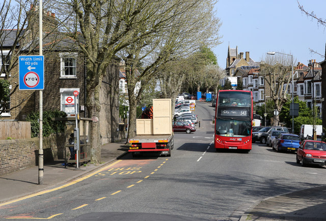
Image: © Martin Addison Taken: 16 Apr 2015
Looking towards the junction with Drakefell Road from the bridge over the Nunhead to Lewisham railway line. Beyond the junction the road becomes Pepys Road. A 343 bus makes its way towards City Hall from New Cross Gate.
Images are licensed for reuse under creativecommons.org/licenses/by-sa/2.0
Image Location
Latitude
51.465921
Longitude
-0.043817