Stile crossing near Lower Summer House Farm
Introduction
The photograph on this page of Stile crossing near Lower Summer House Farm by Bill Boaden as part of the Geograph project.
The Geograph project started in 2005 with the aim of publishing, organising and preserving representative images for every square kilometre of Great Britain, Ireland and the Isle of Man.

There are currently over 7.5m images from over 14,400 individuals and you can help contribute to the project by visiting https://www.geograph.org.uk
Stile crossing near Lower Summer House Farm
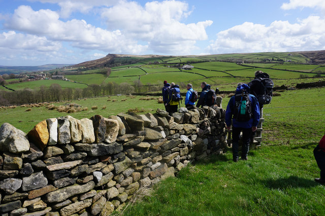
Image: © Bill Boaden Taken: 11 Apr 2015
A new wall has appeared which is not on most maps. Prominent on the far side of the valley is Earl Crag.
Images are licensed for reuse under creativecommons.org/licenses/by-sa/2.0
Image Location
Latitude
53.879315
Longitude
-2.05153