Up Cribbinddu Street, Ynysybwl
Introduction
The photograph on this page of Up Cribbinddu Street, Ynysybwl by Jaggery as part of the Geograph project.
The Geograph project started in 2005 with the aim of publishing, organising and preserving representative images for every square kilometre of Great Britain, Ireland and the Isle of Man.

There are currently over 7.5m images from over 14,400 individuals and you can help contribute to the project by visiting https://www.geograph.org.uk
Up Cribbinddu Street, Ynysybwl
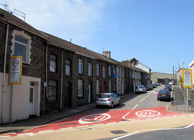
Image: © Jaggery Taken: 16 Apr 2015
Cribbinddu Street ascends from Robert Street towards Thompson Street. The 30mph speed limit reduces to 20mph on the approach to a school. Some references show Cribyn-Ddu Street. I've used the spelling shown on the street name sign.
Images are licensed for reuse under creativecommons.org/licenses/by-sa/2.0
Image Location
Latitude
51.635772
Longitude
-3.358199