North Seven Acres
Introduction
The photograph on this page of North Seven Acres by Simon Carey as part of the Geograph project.
The Geograph project started in 2005 with the aim of publishing, organising and preserving representative images for every square kilometre of Great Britain, Ireland and the Isle of Man.

There are currently over 7.5m images from over 14,400 individuals and you can help contribute to the project by visiting https://www.geograph.org.uk
North Seven Acres
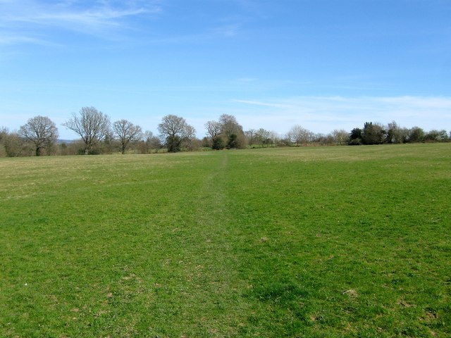
Image: © Simon Carey Taken: 12 Apr 2015
The name of the field according to Cuckfield's 1843 tithe map that is now part of Blunts Wood and Paiges Meadow local nature reserve where it still possesses the same name, see http://www.lnr.naturalengland.org.uk/Special/lnr/lnr_photo/52/Blunts%20Wood%20W%20Sussex%20plan.jpg. The field is bounded by to the south by the properties on Tylers Green, to the east by Image, to the west by Image and to the south east by Image
Images are licensed for reuse under creativecommons.org/licenses/by-sa/2.0
Image Location
Latitude
51.001816
Longitude
-0.121982