Fedderate Castle Ruins
Introduction
The photograph on this page of Fedderate Castle Ruins by Ken Fitlike as part of the Geograph project.
The Geograph project started in 2005 with the aim of publishing, organising and preserving representative images for every square kilometre of Great Britain, Ireland and the Isle of Man.

There are currently over 7.5m images from over 14,400 individuals and you can help contribute to the project by visiting https://www.geograph.org.uk
Fedderate Castle Ruins
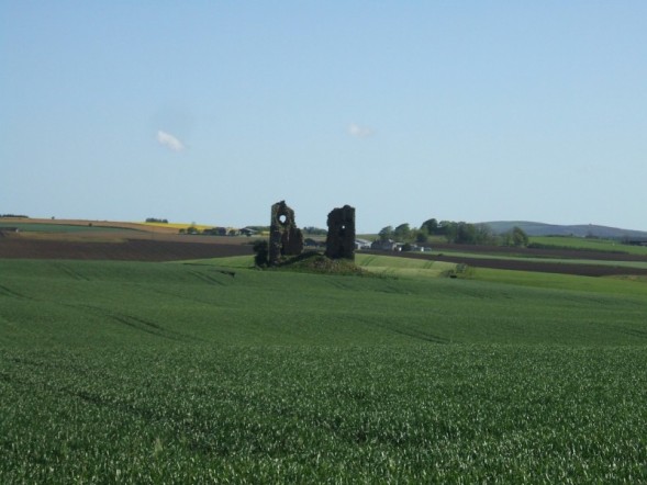
Image: © Ken Fitlike Taken: 24 May 2007
Would have got a closer shot but the crop in the field was soaking wet! For further information see http://www.buchanweb.org/search.asp and search on "Fedderate Castle".
Images are licensed for reuse under creativecommons.org/licenses/by-sa/2.0
Image Location
Latitude
57.538394
Longitude
-2.17403