"Brewers fayre" and "Premier Inn" signs, Carrickfergus (April 2015)
Introduction
The photograph on this page of "Brewers fayre" and "Premier Inn" signs, Carrickfergus (April 2015) by Albert Bridge as part of the Geograph project.
The Geograph project started in 2005 with the aim of publishing, organising and preserving representative images for every square kilometre of Great Britain, Ireland and the Isle of Man.

There are currently over 7.5m images from over 14,400 individuals and you can help contribute to the project by visiting https://www.geograph.org.uk
"Brewers fayre" and "Premier Inn" signs, Carrickfergus (April 2015)
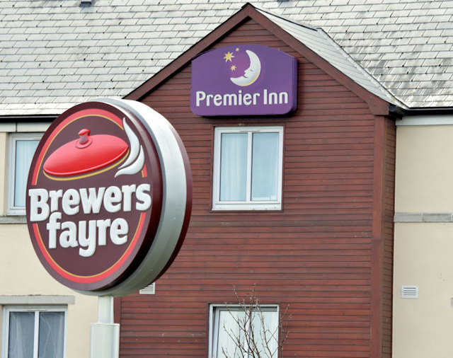
Image: © Albert Bridge Taken: 15 Apr 2015
“Brewers fayre” and “Premier Inn” signs at Rodgers Quay. Both chains are part of the Whitbread organisation http://en.wikipedia.org/wiki/Whitbread.
Images are licensed for reuse under creativecommons.org/licenses/by-sa/2.0
Image Location
Latitude
54.711651
Longitude
-5.809725