Lezant
Introduction
The photograph on this page of Lezant by Derek Harper as part of the Geograph project.
The Geograph project started in 2005 with the aim of publishing, organising and preserving representative images for every square kilometre of Great Britain, Ireland and the Isle of Man.

There are currently over 7.5m images from over 14,400 individuals and you can help contribute to the project by visiting https://www.geograph.org.uk
Lezant
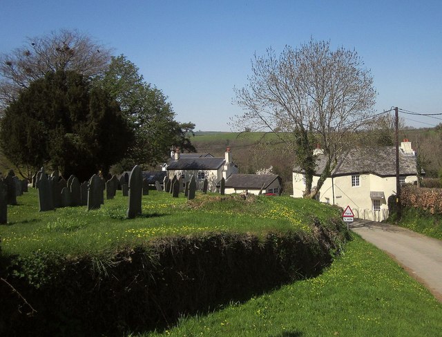
Image: © Derek Harper Taken: 14 Apr 2015
Looking past the churchyard to cottages by the lane northwards. On the right is Church Town, originally thatched, and re-roofed since the listed building description http://list.historicengland.org.uk/resultsingle.aspx?uid=1219860&searchtype=mapsearch was written, when its roof was of corrugated iron.
Images are licensed for reuse under creativecommons.org/licenses/by-sa/2.0
Image Location


Leaflet Map data © OpenStreetMap
Latitude
50.588115
Longitude
-4.348251