House, Eastington
Introduction
The photograph on this page of House, Eastington by Derek Harper as part of the Geograph project.
The Geograph project started in 2005 with the aim of publishing, organising and preserving representative images for every square kilometre of Great Britain, Ireland and the Isle of Man.

There are currently over 7.5m images from over 14,400 individuals and you can help contribute to the project by visiting https://www.geograph.org.uk
House, Eastington
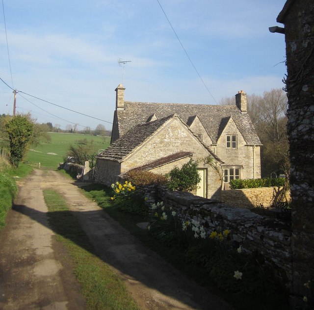
Image: © Derek Harper Taken: 8 Apr 2015
The lane continues as footpath KNE 17/2 towards Middle and Upper End, climbing the Leach valley.
Images are licensed for reuse under creativecommons.org/licenses/by-sa/2.0
Image Location
Latitude
51.817373
Longitude
-1.815422