Daw Bank and Pikestone Lane, Greenholme
Introduction
The photograph on this page of Daw Bank and Pikestone Lane, Greenholme by Richard Sutcliffe as part of the Geograph project.
The Geograph project started in 2005 with the aim of publishing, organising and preserving representative images for every square kilometre of Great Britain, Ireland and the Isle of Man.

There are currently over 7.5m images from over 14,400 individuals and you can help contribute to the project by visiting https://www.geograph.org.uk
Daw Bank and Pikestone Lane, Greenholme
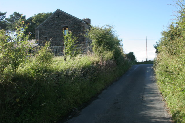
Image: © Richard Sutcliffe Taken: 13 Jul 2013
Daw Bank is a small farm beside Pikestone Lane.
Images are licensed for reuse under creativecommons.org/licenses/by-sa/2.0
Image Location
Latitude
54.443134
Longitude
-2.619676