Cattle grid on Clough Lane
Introduction
The photograph on this page of Cattle grid on Clough Lane by Humphrey Bolton as part of the Geograph project.
The Geograph project started in 2005 with the aim of publishing, organising and preserving representative images for every square kilometre of Great Britain, Ireland and the Isle of Man.

There are currently over 7.5m images from over 14,400 individuals and you can help contribute to the project by visiting https://www.geograph.org.uk
Cattle grid on Clough Lane
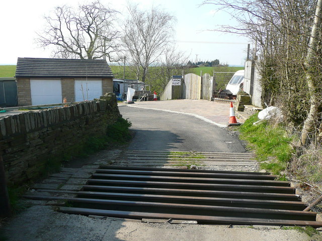
Image: © Humphrey Bolton Taken: 9 Apr 2015
The driveway turns left to the houses called The Clough, and a branch of Brighouse FP72 goes that way to Jay House Lane. The other branch, formerly a continuation of Clough Lane, goes straight forward into the snicket shown in Image] and onwards to Birkhouse.
Images are licensed for reuse under creativecommons.org/licenses/by-sa/2.0
Image Location
Latitude
53.715873
Longitude
-1.764194