Balfour Beatty Engineering Services
Introduction
The photograph on this page of Balfour Beatty Engineering Services by Richard Sutcliffe as part of the Geograph project.
The Geograph project started in 2005 with the aim of publishing, organising and preserving representative images for every square kilometre of Great Britain, Ireland and the Isle of Man.

There are currently over 7.5m images from over 14,400 individuals and you can help contribute to the project by visiting https://www.geograph.org.uk
Balfour Beatty Engineering Services
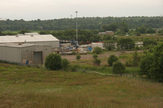
Image: © Richard Sutcliffe Taken: 24 Jun 2014
Part of Balfour Beatty Engineering Services - fabrication facility from Bargeny Hill grassland.
Images are licensed for reuse under creativecommons.org/licenses/by-sa/2.0
Image Location
Latitude
55.937877
Longitude
-4.233269