Snibston Colliery
Introduction
The photograph on this page of Snibston Colliery by Chris Allen as part of the Geograph project.
The Geograph project started in 2005 with the aim of publishing, organising and preserving representative images for every square kilometre of Great Britain, Ireland and the Isle of Man.

There are currently over 7.5m images from over 14,400 individuals and you can help contribute to the project by visiting https://www.geograph.org.uk
Snibston Colliery
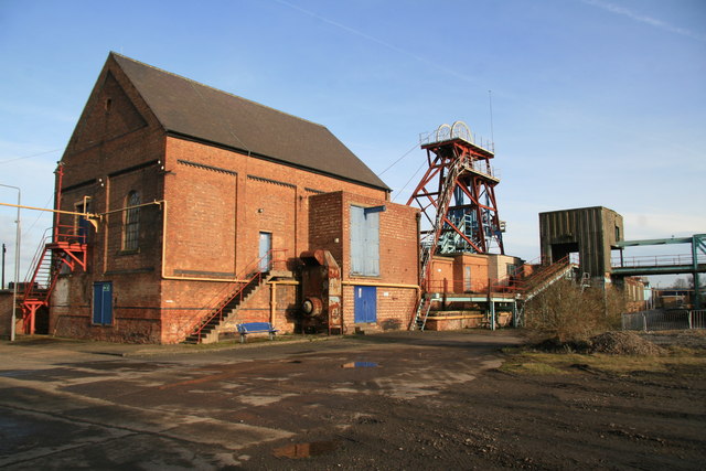
Image: © Chris Allen Taken: 2 Feb 2008
Now a museum that is to close at the end of July 2015. This is the downcast shaft.
Images are licensed for reuse under creativecommons.org/licenses/by-sa/2.0
Image Location
Latitude
52.726439
Longitude
-1.381023